
By John Bacher
Shortly after the Ontario government created the Greenbelt in 2005, Thorold’s city council requested an extension to include lands immediately north of it and above Lake Gibson.
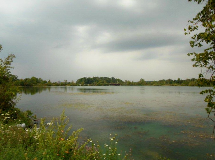
A view of the corridor along the shores of Lake Gibson
This is quite logical since all the lands in question are publicly owned and zoned for environmental protection purposes. They protect the municipal water supply for most of the people of the Niagara Region, provide important wildlife habitat, have historic canal ruins and are laced with trails that loop through scenic forests.
The Ontario government has established a rather rigorous process to expand the Greenbelt, which includes rural lands wrapping around Lake Ontario and the Greater Toronto Area, through north Niagara to the shores of the Niagara River. The basic effect of Greenbelt designation is to protect agricultural and environmentally sensitive lands from zoning changes. Such designations can only be changed through a provincial wide process of the Greenbelt review, not as other zonings, through decisions of councils and appeals to the Ontario Municipal Board.
In passing a resolution favouring the expansion of the Greenbelt, the Thorold council complied with the first step of the Greenbelt expansion process. The next step, however, has resulted in more than decade-long delay. In situations such as Niagara, where there are what the province’s Planning Act describes as “Upper Tier” councils, the regional government is required to approve requests for Greenbelt expansion. It has tied all expansions to an upcoming 2015 Greenbelt review.
Thorold councillors, frustrated with the delays in Greenbelt expansion, have long understood that one of the basic challenges is for the general public to experience the beauty of what they have referred to as the Short Hills Park-Seaway corridor. Although laced by a variety of hiking and cycling trails, being properly protected from automotive access, these lands are not known to most electors.
There is continuous natural habitat in diverse forms in this green corridor and usual wildlife as herons and threatened species such as the Barn Swallow are frequently observed. Its significance was recognized by the late Brock University Geography Professor John Jackson. He pleaded with the province to extend the Short Hills Park to include the corridor lands. They are owned by public agencies such as Ontario Hydro, (now Ontario Power Generation), the Seaway, and the Niagara Region. (through lands associated with vital water supplies).
The Short Hills to Seaway Corridor lands have great historic significance. They include the ruins of DeCew house, where Laura Secord walked to warn of an impending American invasion during the War of 1812.
In 1871, a cut off from the Welland Canal was used to supply drinking water to St. Catharines, providing the basis for a system which now supplies the northern half of Niagara. Beaverdams Church was a preaching place for the prophetic Egerton Ryerson, who there provided the first free public education in Ontario. In 1898 another cut off from the Welland Canal provided the template contemporary hydro electric generating plants around the world.
The failure to include the northern half of the green corridor in the Greenbelt is all the more surprising given the difficult zoning battles that resulted in the protection of the privately owned lands to the immediate south. Mel Swart, the late MPP from Niagara who, along with his long-time friend Francis Goldring, played a major role in creating the Short Hills Park, was greatly concerned that its cold water Brook Trout streams not be contaminated by runoff from urban sprawl. He played a major role in two Ontario Municipal Board hearings that maintained the agricultural zoning on these lands, established when he was Reeve of Thorold Township in 1959.
Swart was joined in his conservation efforts by Thorold-area farmer Russell Yungblut, the Niagara-based citizens group Preservation of Agricultural Lands Society, University of Waterloo Geography Professor Ralph Krueger, and the Niagara South chapter of the Ontario Federation of Agriculture. Jointly they were able to remove 1,350 acres of land from the proposed Niagara Regional urban boundaries through Ontario Municipal Board appeals and protracted hearings. These lands are now protected by the Greenbelt.
In order to encourage the appreciation and protection of the Short Hills to Seaway corridor a hike is being organized on Saturday, September 29th at 2p.m. Walkers and cyclists will assemble outside the Indian Flame Bar and Grill, at 1300 Lundy’s Lane near the Allanburg Bridge. The route will take an hour and a half by walking. Participants are encouraged to meet informally at the Indian Flame afterwards. In case of extreme weather, the event will be rescheduled at 2 p.m. on Sunday, September 28th at the same location.
The route will loop for three kilometres along the scenic Decew-Allanburg trail, turning back at Beaverdams Road. This side trail for the Bruce Trail as noted by the Niagara Region’s cycling map “parallels the Decew Waterworks feeder channel and the Decew Falls generating station reservoir.” Going through the Greenbelt it provides spectacular vistas of the still unprotected area.
John Bacher is a veteran conservationist in Niagara, Ontario and long-time member of the citizen group, Preservation of Agricultural Lands Society. A past contributor of posts to Niagara At Large, his most recent book is called ‘Two Billion Trees and Counting – The Legacy of Edmund Zavitz’,
(NAL invites you to share your views in the comment boxes below. Remember that we need your full name on this site to post your comment. No pseudonyms allowed.)

Your efforts are appreciated …
LikeLike